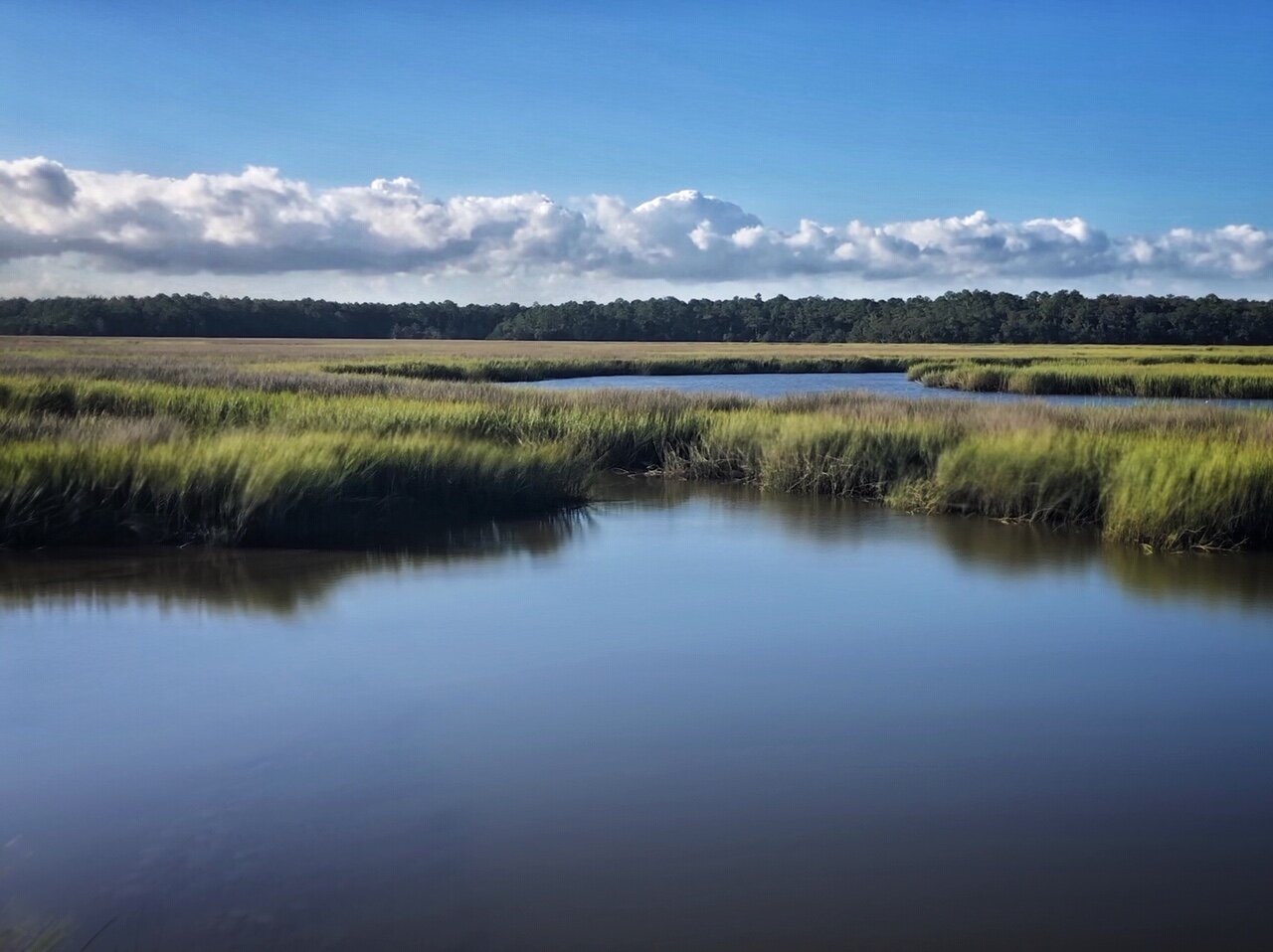
Fort McAllister's Salt Marshes Offer Protection to the Coast for Now
Palmettos and Grasses in the Salt Marsh by the Ogeechee River
On my way down to Florida for book signings, I stopped and camped at Fort McAllister just south of Savannah. To get to the campsite you drive by stunning salt marshes along the Ogeechee River. The marshes are protected by Ossabaw Island, Georgia’s third largest barrier island. The salt marshes in turn help protect the coastline for now. According to NOAA, 15 feet of salt marsh can absorb 50 percent of a wave’s energy. The colors and textures are naturally beautiful too.
Snapped Tree After a Storm
After I parked my mini RV, I walked into the underbrush behind my campsite and saw this snapped tree. I suspected it might have occurred when Hurricane Dorian skirted the coast. It is so important to leave natural marshes, barrier islands, and other wild areas along our coastlines to absorb not only wave action but the power of the wind. The land can shift and move with the storms creating a buffer for the rest of the mainland, but often we build on these areas and then they can’t adapt and lost some of their efficacy.
Fort McAllister Last Light with Flood Boom
When I walked over to where I could see the sun setting over the marsh, I noticed that there was a big flood boom all along the edge of the campground. The Ogeechee River, the tidal Red Bird Creek, and the marshlands all rise and lower depending on weather conditions and the moon. Often areas are closed when the water is too high. It always seems so special to visit and even stay overnight in these littoral zones, but they are by nature shifting so it is hubris on our part to attempt to force them into permanence in any substantial way. People do like to fish and recreate in these areas, but floating houses and campsites that can be occupied or closed depending on conditions seems like the best way for us to appreciate and spend time in these ecologically important areas instead of building condominiums or homes.
Morning Light, Redbird Creek
In the morning, I walked the nature trail along Redbird Creek. Spanish moss festooned the trees and danced in the breeze. The banks were home to palmettos and various grasses. Before I left, I had to return to the salt marshes one last time, to appreciate the colors and patterns of the grasses. The trees along the edges and the water helped make the area feel cooler in the warm September air. I almost forgot how it had become a month of record heat.
Though these areas are incredibly beautiful and looked healthy to me, I’m sure that those who visit every day can tell the affects of rising seas on the composition of the ecosystem here. As Elizabeth Rush writes in “Rising: Dispatches from the New American Shore,” in the past the physical location of a marsh might change but its defining features would not. When sea levels rose higher, the rhizomes would send out new shoots any from areas with increased salinity, since sediment would be deposited somewhere else. Now, however, she says that this process is falling out of sequence and accretion (the depositing of new sediment) is being outpaced. Where the rhizomes can send out their roots is disappearing. The marshes are protecting our mainlands from rising water but they are also slipping beneath the ocean. As they disappear, the rate of intrusion will accelerate even more. For this reason, we should protect and not pave or build in these areas to give them the greatest chance of survival for as long as possible. Below are some more images of this fabled salt marsh.
Grasses in the Salt Marsh
Close up of the Grasses
Salt Marshes, Fort McAllister
A Respite of Shade Along the Marsh


